Expert Boundary Line Determination
Boundary surveyings are essential for establishing property lines and ensuring accurate land division. They involve precise measurement techniques to define legal boundaries, preventing disputes and facilitating property development. Accurate boundary surveys are crucial for property owners, developers, and legal professionals to verify land limits and avoid encroachments.
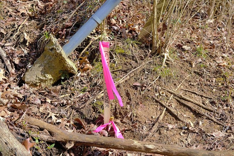
Markers placed along property lines to delineate boundaries clearly.
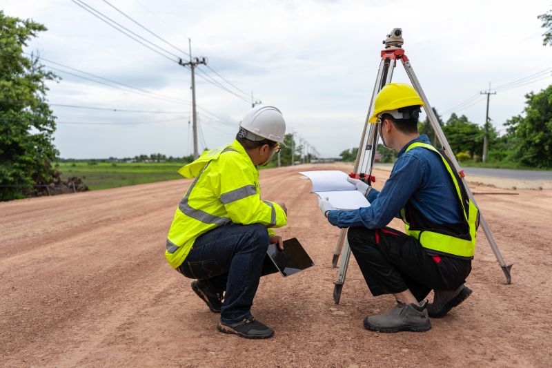
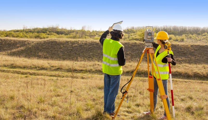
High-precision tools used for accurate land measurement.
Finished survey maps showing property lines and features.
The process of boundary surveying typically begins with research into existing property records and legal descriptions. Surveyors then use advanced equipment such as total stations and GPS devices to measure boundary lines accurately. The survey results are compiled into detailed maps, which may include topographical features, easements, and existing structures. This process ensures that property boundaries are legally defined and clearly marked.
Professional boundary surveys generally take from a few hours to several days, depending on property size and complexity.
The process involves research, field measurements, data analysis, and map preparation, ensuring precise boundary delineation.
Professional surveyors provide accurate, legally defensible boundary definitions, reducing the risk of disputes and future legal complications.
Hiring a professional for boundary surveyings ensures that property boundaries are established with the highest accuracy and adherence to legal standards. This reduces potential conflicts with neighboring property owners and provides clarity for property transactions. Accurate boundary surveys also support land development, zoning compliance, and dispute resolution.
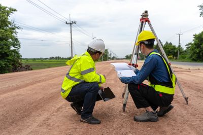
Professionals conducting measurements on-site with precision equipment.
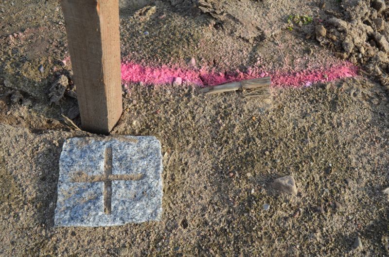
Markers installed along property lines to establish clear boundaries.
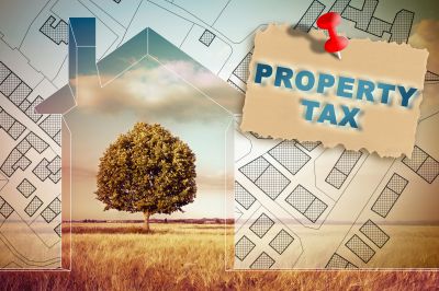
Detailed survey map showing property lines and features.
The completed boundary survey provides a definitive map of property limits, which can be used for legal documentation, construction planning, and resolving boundary disputes. The accuracy of these surveys helps prevent encroachments and ensures compliance with local regulations.
Property owners and developers should consider boundary surveyings as a vital step before any land development, subdivision, or sale. Accurate boundary delineation minimizes risks and supports smooth property transactions. Contact a professional surveyor to obtain a comprehensive boundary survey tailored to specific land requirements.